
Hike i Hemsedal
Fjellturer i Hemsedal
Fýri og Hemsedal er fantastisk året rundt, men sommeren på Fýri er noe helt spesielt. Det fantastiske fjellandskapet byr på magisk utsikt og uforglemmelige toppturer. Her har vi samlet våre beste fjellturer i Hemsedal. Så ta en titt nedenfor!
FÝRI RESORT
HIKE

Fiskumstigen
HIKE / RUN / GYM
6 km // 1 – 1.5 h
Fiskumstigen - Anvisninger
WALK
From the main entrance, go left and follow ‘Totteskogen‘ till you get to the crosswalk. Then turn right and follow the road until you get to the bridge. Follow ‘Torsetvegen‘ to the right (do not cross the bridge). Follow the road for 1.3 km, and turn right at sign ‘Fiskumstigen‘ on the right side of the road. Follow the marked path through the woods. Cross the bridge to the cottage area, and walk all the way down the road. Turn left and follow the marked path on the right, or follow the road until you get to ‘Fløgovegen‘. Turn right and follow ‘Fløgovegen‘ until you see a sign on the left marked ‘Fiskumstigen‘. Follow the marked path through the woods, until you are back at the bridge. Follow the road back to Fyri.
Combine your walk/run with a workout, and workout at the outdoor gym marked on the map.

Gjeiteberget
DRIVE / HIKE
2.2 km // 2 h // 201 m
633 – 834 MOH
Gjeiteberget - Anvisninger
DRIVE
From the main entrance, turn right and then turn right again at the intersection. Cross the bridge and turn right. Follow ‘Hemsedalsvegen‘ to Hemsedal center and continue until you get to Ulsåk. Turn left on ‘Lykkjavegen‘ (sign ‘Lykkja‘, oppsite side of Kiwi). Park at Hemsedal Bygdetun Museum, on the left side of the road, and follow marked path to Gjeiteberget.

Harahødn
DRIVE / HIKE
6.2 km // 3 h // 441 m
1140 – 1581 MOH
Harahødn - Anvisninger
DRIVE
From the main entrance, turn right and then turn right again at the intersection. Cross the bridge and turn left. Follow ‘Hemsedalsvegen‘ to Tuv and turn right at ‘Grøndalsvegen‘ (sign ‘Grøndalen‘). Follow the road until you see a sign on the right to ‘Harahorn Hotel‘, and follow ‘Hydalsvegen‘. Follow the road and pay at the toll road. Follow ‘Hydalsvegen‘ all the way to the parking lot, where the road separates, right before ‘Vavatn‘.
Follow the signs all the way to ‘Harahødn‘.

Hydalen
BICYCLE
23 km // 1.45 h // 787 m
613 – 1162 MOH
Hydalen - Anvisninger
BICYCLE
From the main entrance, turn right and follow ‘Totteskogen‘ until the intersection. Then turn right and follow the road until you get to the bridge. Before the bridge turn left on ‘Holleskardvegen‘. Then turn right on ‘Moavegen‘ (sign marked ‘Tuv‘). Follow the road until you get to another bridge. Cross the bridge and follow the road ahead until you get to the end. Then turn left on ‘Øynevegen‘, cross the bridge, and continue till you are on the main road ‘Hemsedalsvegen‘. Cross the bridge on the right, and turn left right after, on ‘Grøndalsvegen‘ (sign ‘Grøndalen‘). Follow the road until you see a sign on the right side to ‘Harahorn Hotel‘, and follow ‘Hydalsvegen‘. Follow ‘Hydalsvegen‘ all the way down to Hydalen.

Hydalshjallen
DRIVE / HIKE
3.5 km // 1.5 h // 180 m
1340 MOH
Hydalshjallen - Anvisninger
DRIVE
From the main entrance, turn right and then turn right again at the intersection. Cross the bridge and turn left. Follow ‘Hemsedalsvegen‘ to Tuv and turn right at ‘Grøndalsvegen‘ (sign ‘Grøndalen‘). Follow the road until you see a sign on the right side to ‘Harahorn Hotel‘, and follow ‘Hydalsvegen‘. Follow the road and pay at the toll road. Follow ‘Hydalsvegen‘ all the way till the end of ‘Vavatn‘ and park at one of the three parking spots there.
WALK
Walk about 500 m along the road you came from, until you see a sign on the left marked ‘Hydalshjallen’. The path isn’t marked with specific stones or a mail box, so just follow the path in the ground.

Høllekølten
DRIVE / HIKE
3.2-10 km // 1-3 h // 129 – 179 m
625/804 MOH
Høllekølten - Anvisninger
WALK
3 different routes
1. Follow the same directions as described in the DRIVE directions. ( 2 .t / 7.4 km)
2. Same directions as above, but when you get down from the top, turn left on ‘Hustadvegen‘ instead of walking the same way back. Follow the road until you get to ‘Hulbakvegen‘, and turn right. Follow ‘Hulbakvegen‘ to the end of the road, and turn right again. Follow the same directions as DRIVE home. (2. 5 t / 8.5 km)
3. From the main entrance, turn right and follow ‘Totteskogen‘ until the intersection. Then turn right and follow the road until you get to the bridge. Before the bridge turn left on ‘Holleskardvegen‘. Then turn right on ‘Moavegen‘ (sign marked ‘Tuv‘). Follow the road until you get to another bridge. Cross the bridge and follow the road ahead until you get to the end. Then turn left on ‘Øynevegen‘, cross the bridge, and continue till you are on the main road ‘Hemsedalsvegen‘. Cross the bridge on the right, and turn left right after, on ‘Grøndalsvegen‘ (sign ‘Grøndalen‘). Follow the road until you get to ‘Hustadvegen‘ (sign ‘Hulbak‘). Follow ‘Hustadvegen‘ for 1.8 km until you see a sign on the right ‘Høllekølten‘. Walk up to the top, and back. Then turn to the right, and continue on ‘Hustadvegen‘ until you get to the end. Follow the same directions as DRIVE home. (3 t / 10 km.)
DRIVE
From the main entrance, turn right and then turn right again at the intersection. Cross the bridge and turn right. Follow ‘Hemsedalsvegen‘ 400 m. and turn left on ‘Hulbakvegen‘ (sign ‘Hulbak‘). Follow the road for 1 km. until you see sign on the left side of the road ‘Høllekølten‘. Park on the side of the road, and follow the marked path to Høllekølten. (1 t. / 3.2 km)

Karisetberget
DRIVE / HIKE
2.6 km // 1.5 h // 188 m
649 – 837 MOH
Karisetberget - Anvisninger
DRIVE
From the main entrance, turn right and then turn right again at the intersection. Cross the bridge and turn left. Follow ‘Hemsedalsvegen‘ to Tuv and turn right at ‘Grøndalsvegen‘ (sign ‘Grøndalen‘). Follow the road until you see a sign on the left ‘Karisetberget’ (stone marked ‘Kroken‘). Park by the grey building or cross the bridge, and park by the sign ‘Karisetberget‘, at the end of the road. Follow the marked path to Karisetberget.
Kvitingatn
DRIVE / HIKE
6.8 km // 3.5 h // 426 m
1000 – 1426 MOH
Kvitingatn - Anvisninger
DRIVE
From the main entrance, turn right and then turn right again at the intersection. Cross the bridge and turn left. Follow ‘Hemsedalsvegen‘ to Tuv and turn right at ‘Grøndalsvegen‘ (sign ‘Grøndalen‘). Follow the road until you see a sign on the right to ‘Harahorn Hotel‘, and follow ‘Hydalsvegen‘. Follow ‘Hydalsvegen‘ to the parking lot by Fjellstølane (VIPPS parking 60 NOK) – if you pass ‘Harahorn Hotel‘ you have come to far.
WALK
Walk down the road you just came from and turn left on ‘Fjellstølane‘. Walk down the road until you see a sign on the right ‘Kvitingatn‘. Follow the marked path to Kvitingatn.
(Some of the stones further up are not a very vibrant blue, so keep your eyes open, so you don’t accidently walk on the wrong footpath).
Hemsilstigen-Grønåsstigen-Fiskumstigen
HIKE / RUN / GYM
10.5 km // 3 h // 441 m
1140 – 1581 MOH
Hemsilstigen-Grønåsstigen-Fiskumstigen - Anvisninger
WALK
From the main entrance, go left and follow ‘Totteskogen‘ till you get to the crosswalk. Then turn right and follow the road until you get to the bridge. Cross the bridge and walk to the main road ‘Hemsedalsvegen‘. Turn right and follow ‘Hemsedalsvegen‘ until you get to the ‘Power‘ store (sign ‘Helsesenter‘). Turn right and follow the road behind ‘Power‘ past the fire station. Follow the path along the water marked ‘Hemsilstigen‘ and ‘Grønåsstigen‘. When you get to the bridge, cross it, and follow the marked path ‘Grønåsstigen‘. When you are close to the water again, the signs will change back to ‘Hemsilstigen‘. When you get to the big road ‘Torsetvegen‘, cross it, and follow signs marked ‘Fiskumstigen.
(For a shorter route, skip Fiskumstigen and follow ‘Torsetvegen’ to the right for 1.3 km. Then follow the road back to Fyri – 9.2 km)
Follow the marked path through the woods. Cross the bridge to the cottage area, and walk all the way down the road. Turn left and follow the marked path on the right, or follow the road until you get to ‘Fløgovegen‘. Turn right and follow ‘Fløgovegen‘ until you see a sign on the left marked ‘Fiskumstigen‘. Follow the marked path through the woods, until you are back at the bridge. Follow the road back to Fyri.
Combine your walk/run with a workout, and workout at one of the outdoor gyms marked on the map.
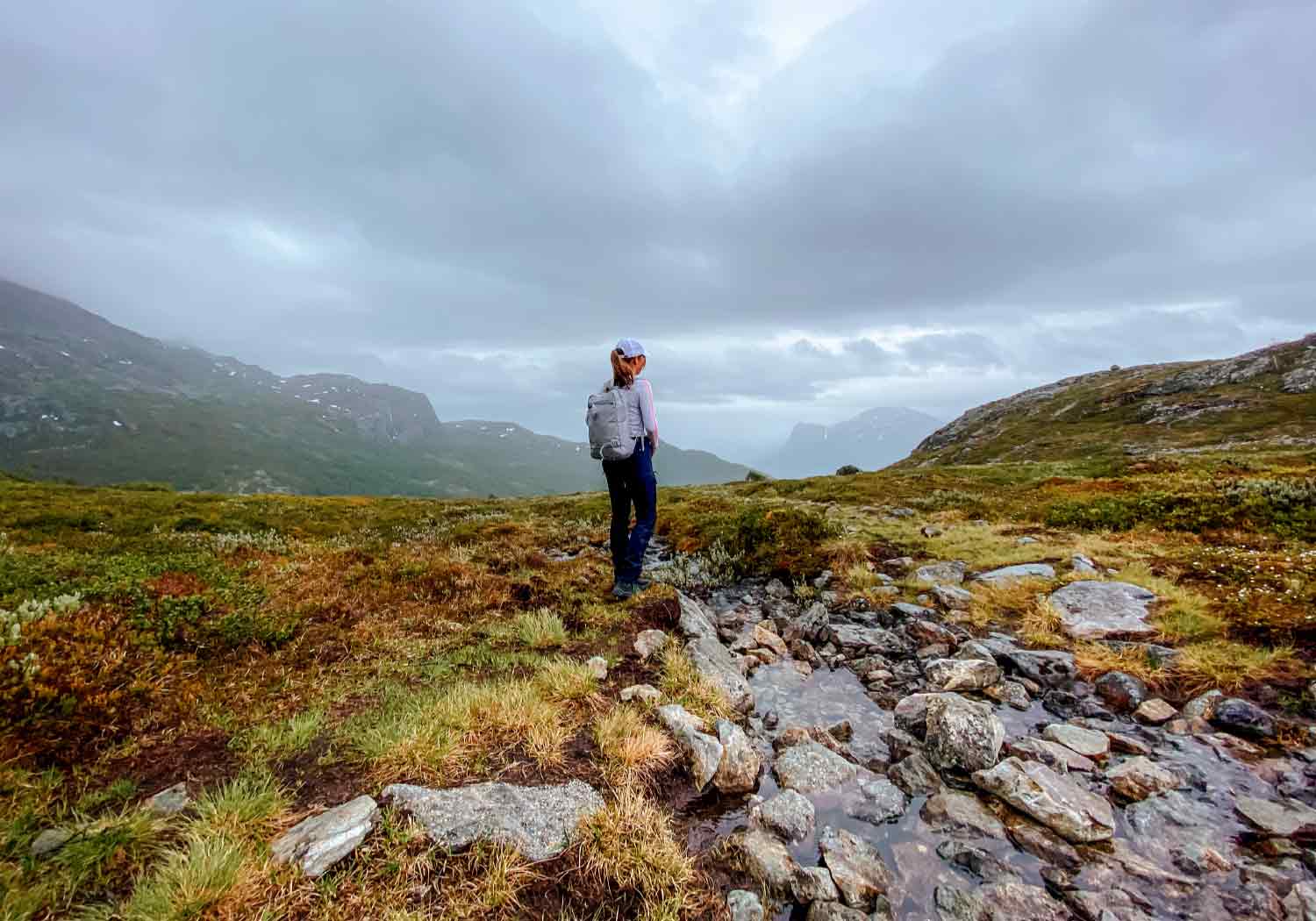
Kyrkjebønnøse
DRIVE / HIKE
10/16 km // 4.5/5.5 h // 943/1051 m
620 / 728 – 1671 MOH
Kyrkjebønnøse - Anvisninger
WALK
From the main entrance, go left and follow ‘Totteskogen’ until the crosswalk. Then turn right and follow the road until you get to the bridge. Cross the bridge and walk to the main road. When you get to the main road ‘Hemsedalsvegen‘ you have two options.
1. walk to the right, and turn left at ‘Trøimsvegen’ after the tourist office. Here you see sign in direction ‘Steget‘. Follow ‘Trøimsvegen‘ and turn left through the woods after the barn. Then cross the bridge and turn right at ‘Kyrkjebønsvegen‘. Follow the road until sign on the right marked ‘Kyrkjebønnøse’.
2. walk to the left, and turn right at ‘Kyrkjebønsvegen‘ after Skogstad Hotel. Follow the road until you see a sign on the right side marked ‘Kyrkjebønnøse’.
DRIVE
From the main entrance, turn right and then turn right again at the intersection. Cross the bridge and turn right. Follow ‘Hemsedalsvegen‘ to Hemsedal center and turn left at ‘Kyrkjebønsvegen‘ before Skogstad Hotel. Follow the road until sign marked ‘Kyrkjebønnøse‘ on the right. Park on the side of the road.
Now follow the marked path to Kyrkjebønnøse. The first top is at 1610 masl and is marked with a mail box. To get to the highest top, 1671 masl, you have to walk a bit further. This top is not marked with a mail box, and is poorly marked, so we recommend using a map or downloading ut.no on your phone.
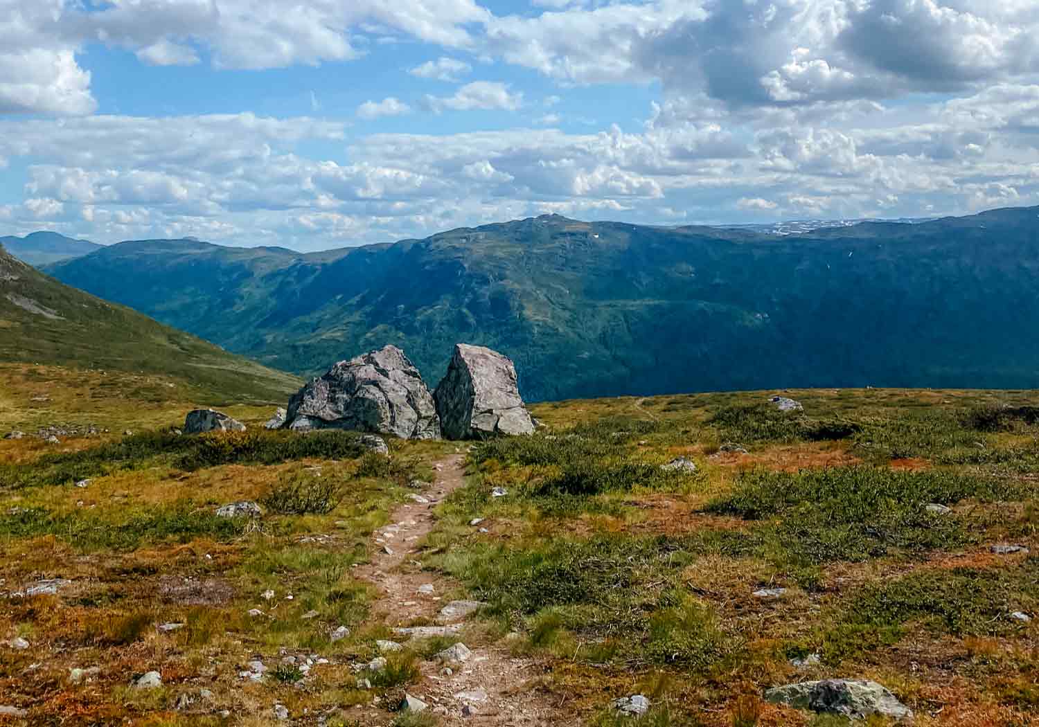
Raudberg
DRIVE / HIKE
7.6 km // 3.5 h // 586 m
915 – 1486 MOH
Raudberg - Anvisninger
DRIVE
From the main entrance, turn right and then turn right again at the intersection. Cross the bridge and turn left. Follow ‘Hemsedalsvegen‘ to Tuv, and continue on the road in direction ‘Hemsedals fjellet‘. Follow ‘Hemsedalsvegen‘ until you see a sign on the right side of the road marked ‘Ershovd‘. Park on the parking lot to the right.
WALK
From the parkinglot, cross the bridge and follow the marked path to Raudberg.

Rjukandefossen
DRIVE / HIKE / BICYCLE
5 km // 1 h
Raudberg - Anvisninger
WALK
From the main entrance, go right and follow ‘Totteskogen’ until the intersection. Then turn right and follow the road until you get to the bridge. Before the bridge turn left on ‘Holleskardvegen‘. Then turn right on ‘Moavegen‘ (sign marked ‘Tuv‘). Follow the road until you get to another bridge. Turn left before the bridge, and follow the marked path through the woods. Cross the hanging bridge, and you have arrived. On the left you can see Rjukandefossen and on the right is a nice place to swim.
DRIVE
From the main entrance, turn right and then turn right again at the intersection. Cross the bridge and turn left. Follow ‘Hemsedalsvegen‘ to Tuv and turn left, when you see sign ‘Rjukandefossen‘, and park on the parking. Walk 5 min thorugh the marked path in the woods, and you have arrived.

Røggjin
DRIVE / HIKE
4-5.5 km // 2.5 h // 365 m
1050 – 1370 MOH
Røggjin - Anvisninger
DRIVE
From the main entrance, turn right and then turn right again at the intersection. Before the bridge turn left on ‘Holleskardvegen‘. Follow the toll road ‘Holdeskardvegen‘ in direction ‘Skigaarden‘. Follow it all the way to the top of the mountain, and park at the parking lot on the left side of the road marked ‘Røggjin parking‘.
WALK
Walk 750m. down the road from the parking, until you see a sign in the woods on the right ‘Røggjin‘. Follow the marked path to the top. Walk the same way back, or turn left at a blue pole around halfway down. This way you walk straight to the parkinglot.
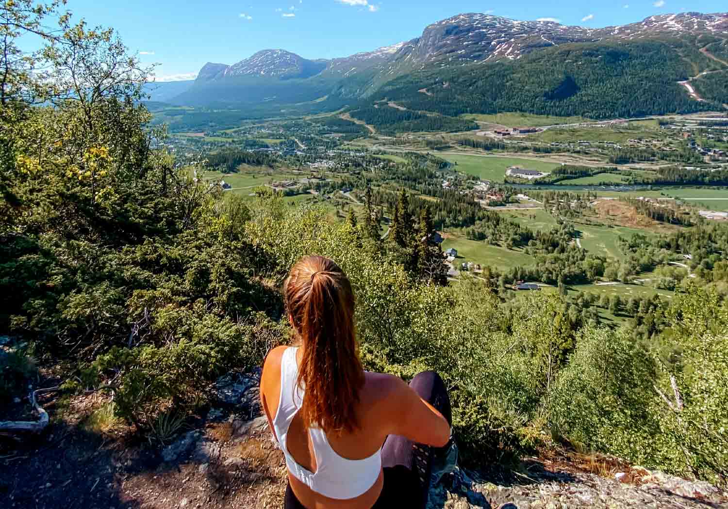
Steget
DRIVE / HIKE
4-9.5 km // 2 – 3 h // 192 – 300 m
620/728 – 920 MOH
Steget - Anvisninger
WALK
From the main entrance, go left and follow ‘Totteskogen’ until the crosswalk. Then turn right and follow the road until you get to the bridge. Cross the bridge and walk to the main road. When you get to the main road ‘Hemsedalsvegen‘ you have two options.
1. walk to the right, and turn left at ‘Trøimsvegen’ after the tourist office. Here you see sign in direction ‘Steget‘. Follow ‘Trøimsvegen‘ and turn left through the woods after the barn. Then cross the bridge and turn right at ‘Kyrkjebønsvegen‘. Follow the road until sign on the right marked ‘Steget‘.
2. walk to the left, and turn right at ‘Kyrkjebønsvegen‘ after Skogstad Hotel. Follow the road until you see a sign on the right side marked ‘Steget‘.
Now follow the marked path to Steget.
DRIVE
From the main entrance, turn right and then turn right again at the intersection. Cross the bridge and turn right. Follow ‘Hemsedalsvegen‘ to Hemsedal center and turn left at ‘Kyrkjebønsvegen‘ before Skogstad Hotel. Follow the road until sign marked ‘Steget‘ on the right. Park on the side of the road. Now follow the marked path to Steget.
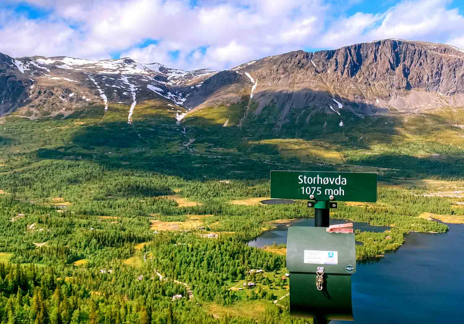
Storhøvda
DRIVE / HIKE
3.4 km // 2 h // 273 m
840 – 1075 MOH
Storhøvda - Anvisninger
DRIVE
From the main entrance, turn right and then turn right again at the intersection. Cross the bridge and turn right. Follow ‘Hemsedalsvegen‘ to Hemsedal center and continue until you get to Ulsåk. Turn left on ‘Lykkjavegen‘ (sign ‘Lykkja‘, oppsite side of Kiwi). Follow ‘Lykkjavegen‘ until you get to ‘Gravset Langrennsarena‘. Park on the parkinglot, on the left side of the road. Follow marked path to Storhøvda.
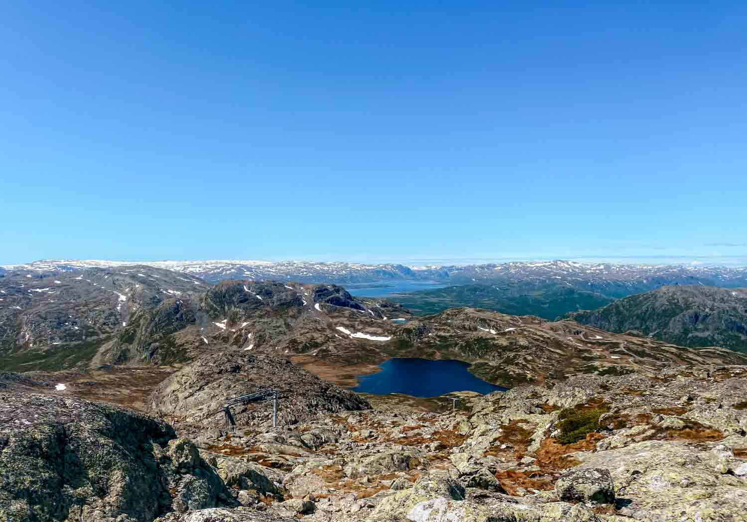
Totten
DRIVE / HIKE
4.4-13 km // 2.5-4.5 h // 371 – 837 m
660/1126 – 1497 MOH
Totten - Anvisninger
WALK
From the main entrance, cross the road and follow ‘Fyri Løypa‘ (to the left from the lift) up the mountain. At the top turn left, and follow ‘Sentrums/Fyri Løypa‘. You can walk in the slope or follow the blue marks on the side of the slope. When you are almost at the top of the ‘Hollvin’ lift, look for blue stones/sticks to the left, or keep following the blue marks. Follow the marked path to the top of Totten. Walk the same way back. Alt. follow the blue stones to the right on the way down, and walk to the waterfall. (13 km / 4.5 t)
LIFT
From the main entrance, turn right and then turn left at the intersection. Walk/drive to the parkinglot at the top, and walk to the ‘Hollvin‘ lift. Buy a liftpass and take the lift to the top. Follow the blue marked path to the top. Take the lift back down, or follow ‘Sentrums/Fyri Løypa‘ back to the hotel. (4.4 km / 2.5 t)
DRIVE
From the main entrance, turn right and then turn right again at the intersection. Before the bridge turn left on ‘Holleskardvegen‘. Follow the toll road ‘Holdeskardvegen‘ in direction ‘Skigaarden‘. Turn left at ‘Tindevegen‘ and park at ‘Skigaarden‘. Walk from ‘Skigaarden‘ and follow the slope to the ‘Hollvin‘ lift. From here follow the marked path. (7.4 km / 3.5 t)

